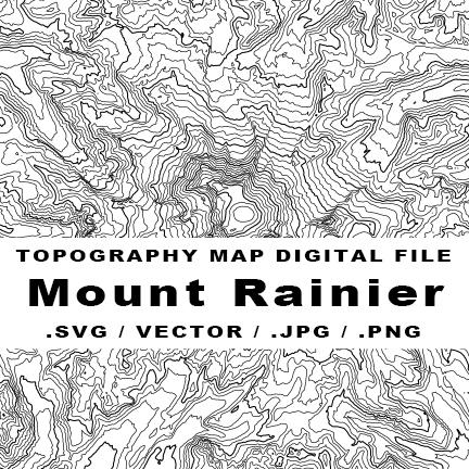
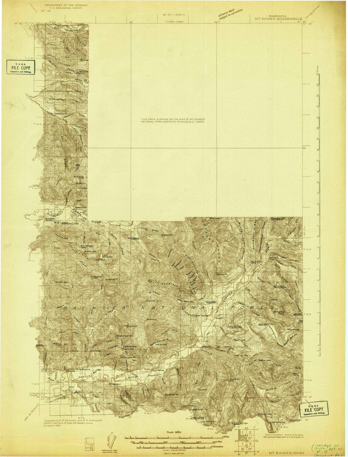
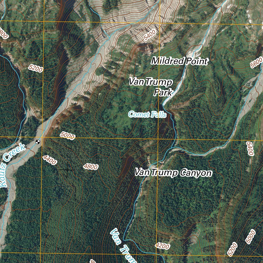
This is a detailed topographic map of the Mount Rainier West area in Washington State, published by the USGS.

It's a historical edition, originally mapped in 1971 with updates in 1996, so it shows the landscape as it was at that time – great for history buffs or to see changes.
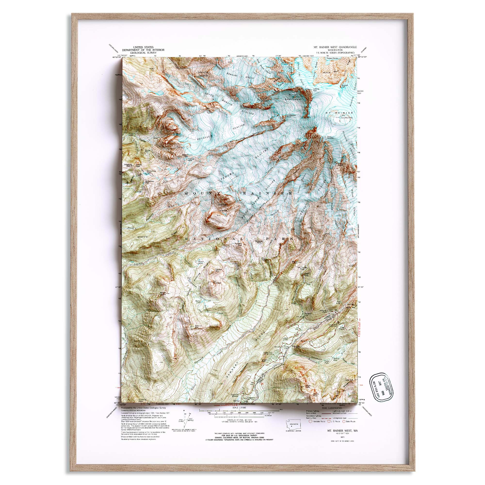
The scale is 1:24,000, which is very detailed (1 inch on the map equals about 2,000 feet on the ground), perfect for serious hiking, backpacking, or research.

It shows elevation contours, rivers, lakes, trails, roads, and geographic coordinates.
The map is printed on-demand on your choice of paper (regular 32lb paper is standard) and measures 26.9 by 22.1 inches.

It's shipped rolled in a tube.

Whether you're planning an outdoor adventure, framing it for decor, or studying the region's geography, this is an authoritative and classic map.